|
|
||||
|
|
||||
|
Kara |
||||
|
For cave maps and drawings please click on the picture... |
For photographs please click on the photo... |
|||
|
 |
|||
|
Type: |
Horizontal Cave | |||
|
Altitude: |
1230 m | |||
|
Depth: |
-13 m | |||
|
Length: |
390 m | |||
|
Region: |
Central Anatolia | |||
|
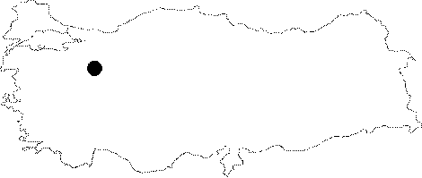
Province: |
Eskisehir | |||
|
District: |
Alpu | |||
|
Village: |
Karacaören | |||
|
|
||||
 |
||||
| Location: It lies at the beginning of the northern slope of the Sulununkiran Hill facing the Sakarya River; 2 km north of the Karacaören Village; approximately 25 km northeast of Alpu. It can be reached from the Alpu-Gökcekaya Dam road. The stabilized road deviating here runs to Karacaören; passing through the villages of Kuzayva and Gümele. The road is then connected to the Eskisehir-Alpu-Mihaliccik-Nallihan motorway; passing though the villages of Otluk and Kandamli. The cave is reached by a half an hour walk from Karacaören. It is located in front of the Sakarya River and Gökcekaya Dam. |
| Structural Properties and formation : It has two entrances; one facing south; and the other facing north. They open into a 10x20 m hall. To the southwest of the hall lies a gallery which was developed like a tunnel along with a pronounced joint. The end of this gallery; which is the third entrance; is closed by blocks. Most of the decorations are covered by soot as a result of fires made as it used to be a settlement. It is a fossil cave; and located in the vadose zone. |
| Research History: It was explored by MTA; and its map and other characteristics were published in 2001. |
| Findings: Probably settled in prehistoric times; it has a thick cultural deposit. A few bats were seen at several parts of the cave. |