|
|
||||
|
|
||||
|
Karabeyli Inleri |
||||
|
For cave maps and drawings please click on the picture... |
For photographs please click on the photo... |
|||
|
 |
|||
|
Type: |
Horizontal Cave | |||
|
Altitude: |
m | |||
|
Depth: |
m | |||
|
Length: |
5 m | |||
|
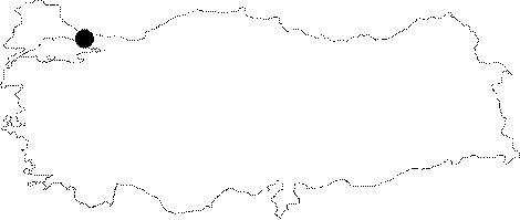
Region: |
Marmara | |||
|
Province: |
Istanbul | |||
|
District: |
Sile | |||
|
Village: |
Karabeyli | |||
|
|
||||
 |
||||
| The system consisting five horizontal caves with lengths of 5 m;15 m; 10 m; 5 m and 15 m are located at Elmalitarla Mevkii to the west of the Karabeyli Village. The caves which are in walking distance to village, are firstly mapped by Ertek and his team. The caves are formed in doline and uvalas in the east brach of Kabakoz Creek along a fault of limestones belonging to Verfenien (Mid-Triasic) period. Underground creeks connecting to each other turns into a karstic water resource in Kabakoz Valley in the west. The floor of the caves are covered with brown and thin soil and partially by edged depressed material. Caves are dry. Three species of spiders varying in colour from black; brown to grey; and transparent snails were seen. It was estimated to be utilised for sheltering by animals. |
| Location: |
| Structural Properties and formation : |
| Research History: |
| Findings: |