|
|
||||
|
|
||||
|
Karadoruk |
||||
|
For cave maps and drawings please click on the picture... |
For photographs please click on the photo... |
|||
|
 |
|||
|
Type: |
Vertical Cave | |||
|
Altitude: |
m | |||
|
Depth: |
-18 m | |||
|
Length: |
m | |||
|
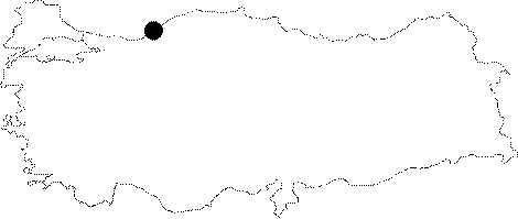
Region: |
Black Sea | |||
|
Province: |
Karabük | |||
|
District: |
Yenice | |||
|
Village: |
Balikisik | |||
|
|
||||
 |
||||
| It is located at Pitrak Mevkii descending to Yenice through the forest roads following the Subatan Plateau. It can be reached after a 20 minute hard walk northward from Pitrak Mevkii. BUMAK named it after the hill it is located as there was no name given locally. It was formed at the bottom of a wall rising roughly in the northwest-southeast direction; reaching up to Pitrakli Mevkii. With a vertical characteristic; it was mapped by BUMAK to the BCRA 2a standards. |
| Location: |
| Structural Properties and formation : |
| Research History: |
| Findings: |