|
|
||||
|
|
||||
|
Karakaya |
||||
|
For cave maps and drawings please click on the picture... |
For photographs please click on the photo... |
|||
|
 |
|||
|
Type: |
Horizontal Cave | |||
|
Altitude: |
1050 m | |||
|
Depth: |
-30 m | |||
|
Length: |
198 m | |||
|
Region: |
Central Anatolia | |||
|
Province: |
Eskisehir | |||
|
District: |
Mihaliçcik | |||
|
Village: |
Yalimkaya | |||
|
|
||||
 |
||||
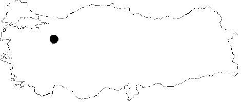
| Location: It lies on the right slope of the Domya Creek; a branch of the Sakarya River; 1 km east of the Yalimkaya (Domya) Village to the northwest of the Mihaliccik District. The Domya (Gürleyik) Creek; flowing in a deeply buried valley from west to east between high mountains has cleaved and splitted the region. It can be reached either from the Büydüz-Sasa-Yalimkaya road deviating from the Eskisehir-Mihaliccik motorway or the Mihaliccik-Gürleyik-Yalimkaya motorway. After arriving in Yalimkaya by vehicle; the cave is reached after a 1-hour walking. Located on the steep slope to the north of the Kayabasi Hill (1263 m); it is mostly descended by rope. It lies 1.5 km west of the Sarikaya Cave. It can also be reached by a half an hour walk inside the deep canyon of the Domya Creek from the village of Gürleyik. |
| Structural Properties and formation : It was formed within the Sömdiken marbles on a northeast-southwest directed fault. It consists of one gallery. It is highly rich in decorations (stalactites; stalagmites; columns; wall and curtain dripstones). The stalactites; stalagmites and wall dripstones have been covered by gray or grayish white and black colors; which are common in areas with high hydrothermal activities. It is a fossil cave which halted its development. |
| Research History: It was explored by MTA; and its map and other characteristics were published in 2001. |
| Findings: |