|
|
||||
|
|
||||
|
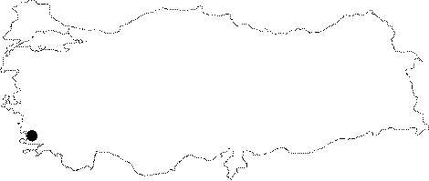
Karakovuk |
||||
|
For cave maps and drawings please click on the picture... |
For photographs please click on the photo... |
|||
|
 |
|||
|
Type: |
Cave | |||
|
Altitude: |
60 m | |||
|
Depth: |
+18 m | |||
|
Length: |
58 m | |||
|
Region: |
Aegean | |||
|
Province: |
Mugla | |||
|
District: |
Marmaris | |||
|
Village: |
Içmeler | |||
|
|
||||
 |
||||
| It can be reached both from sea and land. It was developed over a fault within the Cretaceous aged massif and some hornstein limestones; which partly have a conglomeratic structure. It was explored by MTA in 1984. |
| Location: |
| Structural Properties and formation : |
| Research History: |
| Findings: |