|
|
||||
|
|
||||
|
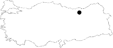
Kartalkaya |
||||
|
For cave maps and drawings please click on the picture... |
For photographs please click on the photo... |
|||
|
 |
|||
|
Type: |
Cave | |||
|
Altitude: |
2100 m | |||
|
Depth: |
-9 m | |||
|
Length: |
69 m | |||
|
Region: |
Black Sea | |||
|
Province: |
Gümüshane | |||
|
District: |
Merkez | |||
|
Village: |
Karamustafa | |||
|
|
||||
 |
||||
| Location: The Quarter of Habibler is accessible by any kind of vehicle from the Karamustafa Village. From there the Eceltasi Hill where the cave is located on can be reached after a half an hour walk. |
| Structural Properties and formation : It was formed within the Malm-Lower Cretaceous limestones on two pronounced crossing joints. There is a remarkable difference of altitude between the karstic and morphological base levels. It looks like a narrow and low gallery until the hall at the final zone; which is rich in stalactites and stalagmites. It is dry in all seasons. |
| Research History: It was explored and mapped by MTA; and published in 1992. |
| Findings: Bats were rarely seen. |