|
|
||||
|
|
||||
|
Kizilcik |
||||
|
For cave maps and drawings please click on the picture... |
For photographs please click on the photo... |
|||
|
 |
|||
|
Type: |
Cave | |||
|
Altitude: |
90 m | |||
|
Depth: |
+18.5 m | |||
|
Length: |
619 m | |||
|
Region: |
Marmara | |||
|
Province: |
Sakarya | |||
|
District: |
Karasu | |||
|
Village: |
Kizilcik | |||
|
|
||||
 |
||||
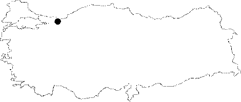
| Location: It is located in the Kizilcik Village 7 km south of the Karasu District; which is 50 km northwest of Sakarya. The cave is underneath a hazelnut plantation; inside the village; which is on a plateau fractured by the Karasu Stream and its branches; which empties into Karadeniz; and Kizilcik; and Dereiçi Streams which empty into Sakarya River. |
| Structural Properties and formation : The cave is situated on a plateau type surface extending on a fault in NW-SE direction approximately 100-200 m in length; which had developed on the Çakraz Formation consisting of early sandstone; pebble; and mudstone; and the Akveren Formation which has the utmost carstic limestone levels. The cave extends making meanders; and in accordance with the fracture system; and limestone layers in NW-SE direction. It is 1-8 m wide; 0.5-10 m high. |
| Research History: It was researched by the Geological Studies Department of MTA General Directorate; and published in 2002. |
| Findings: A dense population of live animals inside the Kizilcik Cave which is cold and wet; was not observed. But there were black spiders towards the center. Their size was almost the same as the size of a bee's; and they weren't too mobile. Additionally there were a few bats observed inside the cavities near the entrance. |