|
|
||||
|
|
||||
|
Kizilçukur |
||||
|
For cave maps and drawings please click on the picture... |
For photographs please click on the photo... |
|||
|
 |
|||
|
Type: |
Horizontal Cave | |||
|
Altitude: |
1065 m | |||
|
Depth: |
m | |||
|
Length: |
293 m | |||
|
Region: |
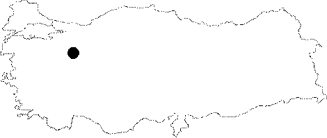
Central Anatolia | |||
|
Province: |
Eskisehir | |||
|
District: |
Mihaliçcik | |||
|
Village: |
Süleler | |||
|
|
||||
 |
||||
| Location: It is located in a forest at the Kokarkuyu Mevkii of the Süleler Village. |
| Structural Properties and formation : The entrance faces the northwest. The Bozüyük-Mihaliccik-Ankara fault played a significant role in its formation. Toward the mid-part; it becomes narrow; resulting in a keyhole which can be passed through only by crawling. This hole called "Darbogaz" leads into a second section where the cave continues with a single main branch and ends up with a depression hall. |
| Research History: It was explored by AMAG in 1992. |
| Findings: |