|
|
||||
|
|
||||
|
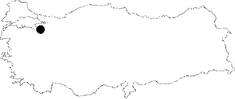
Kizilkaya |
||||
|
For cave maps and drawings please click on the picture... |
For photographs please click on the photo... |
|||
|
 |
|||
|
Type: |
Horizontal Cave | |||
|
Altitude: |
1050 m | |||
|
Depth: |
-15 m | |||
|
Length: |
30 m | |||
|
Region: |
Marmara | |||
|
Province: |
Bursa | |||
|
District: |
Inegöl | |||
|
Village: |
Hayriye | |||
|
|
||||
 |
||||
| Location: It lies near the Magara Hill; 3 km south of the Hayriye Village. It can be reached from the village by walking half an hour in a rocky and forestry area. |
| Structural Properties and formation : The first descent is a -4.5 m shaft. Then; it divides into two small branches with inclination. There is a thick mass of debris at the bottom. Also seen are stalactites; stalagmites; columns and wall dripstones. The roof height is between 3 and 4 m. Located at vadose zone; it is a dry cave. |
| Research History: It was explored and mapped by MTA; and published in 1997. |
| Findings: |