|
|
||||
|
|
||||
|
Kiziltepe |
||||
|
For cave maps and drawings please click on the picture... |
For photographs please click on the photo... |
|||
|
 |
|||
|
Type: |
Horizontal Cave | |||
|
Altitude: |
595 m | |||
|
Depth: |
-33 m | |||
|
Length: |
51 m | |||
|
Region: |
Marmara | |||
|
Province: |
Bursa | |||
|
District: |
Iznik | |||
|
Village: |
Elbeyli | |||
|
|
||||
 |
||||
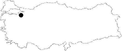
| Location: It is located on the upper northern slope of the Kizil Hill to the southeast of the Elbeyli Town. It can be accessed from the Iznik-Elbeyli road. The stabilized forest road following the left bank of the Koyun Creek from Elbeyli passes through the lower slope of the hill where the cave is located. It can be reached after a half an hour walk from that point. |
| Structural Properties and formation : It was formed within the Jura-Lower Cretaceous Bilecik limestones. It is an abandoned fossil cave. It drops into a -25 m shaft. It was formed as a result of a Pliocene underground cavity opened to the surface due to collapse of its roof; and the bottom is covered with big blocks and debris. The most interesting speleothems are eccentric and helictite forms; mostly seen on walls; they display diverse developments in the form of big crystals and pipes. |
| Research History: It was explored and mapped by MTA; and published in 1997. |
| Findings: It has a surface connection through a deep chimney; but no specific forms of life were seen in the cave except a few bats. |