|
|
||||
|
|
||||
|
Koca |
||||
|
For cave maps and drawings please click on the picture... |
For photographs please click on the photo... |
|||
|
 |
|||
|
Type: |
Horizontal Cave | |||
|
Altitude: |
1920 m | |||
|
Depth: |
-13 m | |||
|
Length: |
203 m | |||
|
Region: |
Marmara | |||
|
Province: |
Bursa | |||
|
District: |
Inegöl | |||
|
Village: |
Kiran | |||
|
|
||||
 |
||||
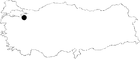
| Location: It is located near the summit of Uludag on the Kuzuyatagi Plateau within the borders of the Kiran Village; 18 km west of Inegöl. The Kiranköy Plateau can be reached by a 8 km steep and twisting road from the Kiran Village. It lies to 5 km southeast of the glacial lakes at Uludag. |
| Structural Properties and formation : It was formed within a Permian aged marble block along with a pronounced fault line. It is a spring type of fossil cave developed horizontally. Stalactites; stalagmites; columns; drapery and wall dripstones can be seen. The pools reaching up to 0.5 to 1 m depth are full in all seasons. |
| Research History: It was explored and mapped by MTA; and published in 1997. |
| Findings: |