|
|
||||
|
|
||||
|
Kocaçali 2 |
||||
|
For cave maps and drawings please click on the picture... |
For photographs please click on the photo... |
|||
|
 |
|||
|
Type: |
Horizontal Cave | |||
|
Altitude: |
755 m | |||
|
Depth: |
-6 m | |||
|
Length: |
16 m | |||
|
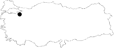
Region: |
Marmara | |||
|
Province: |
Bursa | |||
|
District: |
Mustafakemalpasa | |||
|
Village: |
Kursunlu | |||
|
|
||||
 |
||||
| Location: It lies on the Kocacali Ridge to the northwest of Kocadag; east of the Kursunlu Village. It can be reached from the Mustafakemalpasa-Devecikonagi-Bükköy road. The 5 km stabilized road between Devecikonagi-Kursunlu villages is very smooth. The cave is reached after a half an hour walk from the village. |
| Structural Properties and formation : It lies on the edge of a Paleo-doline. It has been entirely fossilized. It drops into a -2 m shaft. The bottom is covered by debris and small stalagmites. Located at the vadose zone; it is dry in all seasons. |
| Research History: It was explored and mapped by MTA; and published in 1997. |
| Findings: |