|
|
||||
|
|
||||
|
Kocaçayirlar |
||||
|
For cave maps and drawings please click on the picture... |
For photographs please click on the photo... |
|||
|
 |
|||
|
Type: |
Horizontal Cave | |||
|
Altitude: |
370 m | |||
|
Depth: |
-5 m | |||
|
Length: |
53 m | |||
|
Region: |
Marmara | |||
|
Province: |
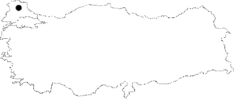
Kirklareli | |||
|
District: |
Vize | |||
|
Village: |
Sergen | |||
|
|
||||
 |
||||
| Location: Located 3 km southwest of the Sergen Town; 20 km northwest of the Vize District; it lies on a plain area at the northern skirt of the Davalipinar Hill. It can be reached from Sergen or Pinarhisar. The Vize-Kücükyayla-Sergen or Pinarhisar-Sogucak-Sergen motorways lead near to the cave. |
| Structural Properties and formation : It was formed on a fault over the northwest-southeast directed Argillaceous-arenaceous limestones within the Eocene Kirklareli limestones surfacing over a large area. Consisting of two big halls; it houses a thick fossil soil as well as blocks; debris and pebbles at the bottom. There is no speleothems in the halls due to lack of any relation with surface waters and their very close position to the surface. It has been entirely fossilized; and halted its development. |
| Research History: It was explored and mapped by MTA. |
| Findings: No other forms of life were seen except a few bats. |