|
|
||||
|
|
||||
|
Koçakkiran |
||||
|
For cave maps and drawings please click on the picture... |
For photographs please click on the photo... |
|||
|
 |
|||
|
Type: |
Horizontal Cave | |||
|
Altitude: |
1190 m | |||
|
Depth: |
-8;+13 m | |||
|
Length: |
350 m | |||
|
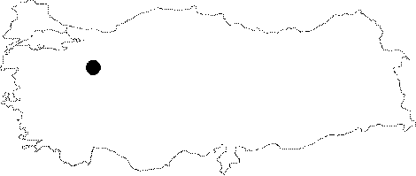
Region: |
Central Anatolia | |||
|
Province: |
Eskisehir | |||
|
District: |
Mihaliçcik | |||
|
Village: |
Otluk | |||
|
|
||||
 |
||||
| Location: It lies very close to the Kötüfatma; Karamikini and Kara Caves. It is located 1 km north of the Kocakkiran Hill (1358 m) near the quarter of Actim of the Otluk Village. A one hour walk from the quarter over a steep slope leads to the cave. |
| Structural Properties and formation : The entrance overview is the Sakarya River. It consists of two sections which are interconnected but developed in different periods. The first section is full of drisptones. Directed to the west; it is connected with the second section through a very narrow passage. Here there is a very strong wind from inside to outside. It is a fossil cave which halted its development. |
| Research History: It was explored by MTA; and its map and other characteristics were published in 2001. |
| Findings: A few bats were seen. |