|
|
||||
|
|
||||
|
Kovantasi |
||||
|
For cave maps and drawings please click on the picture... |
For photographs please click on the photo... |
|||
|
 |
|||
|
Type: |
Horizontal Cave | |||
|
Altitude: |
240 m | |||
|
Depth: |
-25 m | |||
|
Length: |
270 m | |||
|
Region: |
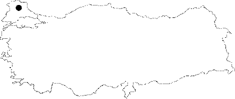
Marmara | |||
|
Province: |
Kirklareli | |||
|
District: |
Vize | |||
|
Village: |
Kislacik | |||
|
|
||||
 |
||||
| Location: It lies on the upper bank of the Kovantasi Creek; 3 km northwest of the Kislacik Village; 29 km northeast of Vize. The road between the Kislacik and Kizilagac villages run over the cave. |
| Structural Properties and formation : The vicinity of the Kovantasi Cave consists of the gneisses and schists of the Istranca Massif underlying the Eocene Argillaceous-arenaceous limestones and the Pliocene clay; sand and pebble deposits. The cave is formed inside the limestone layers in Mesozoic metamorphic and intrusive rocks of Strandja Massif. The cave was developed within the Eocene Argillaceous-arenaceous limestones on top of the gneisses along with a pronounced fault line like a ground bridge. It is very poor in dripstones. There are structures formed as a result of physical abrasion by water (small pools; finished surfaces; abrasion marks). It is 3-10 m wide and the roof height is 2-7 m. The side galleries are narrower and lower. |
| Research History: It was explored and mapped by MTA. |
| Findings: No other forms of life except abundant number of bat groups inhabiting the mid-main gallery and the big hall of side branch were seen [Nazik et al. 1998a:60-63]. Seven bat species were recorded in Kovantaşı Cave and three of them, Miniopterus schreibersii, Rhinolophus blasii and Rhinolophus euryale, have nursery colonies. There is also an immensely large colony of hibernating Rhinolophus ferrumequinum in Kovantaşı [BUMAD 2010]. |