|
|
||||
|
|
||||
|
Kötüfatma |
||||
|
For cave maps and drawings please click on the picture... |
For photographs please click on the photo... |
|||
|
 |
|||
|
Type: |
Horizontal Cave | |||
|
Altitude: |
1150 m | |||
|
Depth: |
+17 m | |||
|
Length: |
110 m | |||
|
Region: |
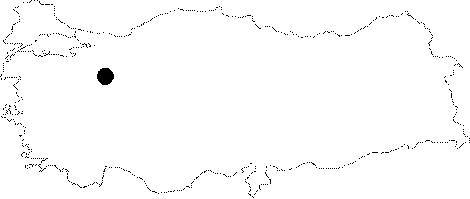
Central Anatolia | |||
|
Province: |
Eskisehir | |||
|
District: |
Mihaliçcik | |||
|
Village: |
Otluk | |||
|
|
||||
 |
||||
| Location: It lies 3 km east of the Kara Cave. Between two caves flows the Girdap Creek in a canyon-like deep valley. The entrance overviews the Sakarya River. It can be reached from the Alpu-Karacaören-Otluk or Bozan-Büzdüg-Agachisar-Kandamlamis-Otluk roads. From the quarter of the Atcim of the Otluk Village; it takes one hour to walk to the cave. |
| Structural Properties and formation : Consisting of three interconnected levels; it was formed within the Mid-Triassic Early Upper Cretaceous limestones. The fractured structure of these limestones resulted in a cage-like formation for the cave. It has three separate entrances. It is a fossil cave; which halted its development. |
| Research History: It was explored by MTA; and its map and other characteristics were published in 2001. |
| Findings: Few bats were seen at some sections. |