|
|
||||
|
|
||||
|
Kurtbekir |
||||
|
For cave maps and drawings please click on the picture... |
For photographs please click on the photo... |
|||
|
 |
|||
|
Type: |
Cave | |||
|
Altitude: |
1128 m | |||
|
Depth: |
-25 m | |||
|
Length: |
360 m | |||
|
Region: |
Black Sea | |||
|
Province: |
Ordu | |||
|
District: |
Gölköy | |||
|
Village: |
Merkez | |||
|
|
||||
 |
||||
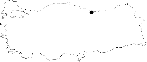
| Location: It is located on carstic plateau fragmented by the rivers (Melet and Bolaman Brooks) 500 m east of Kökdere Quarter; just northeast of Gölköy District which is 63 km SW from Ordu. |
| Structural Properties and formation : It s a sinkhole type; semi-active cave which had developed on a fault in NE-SW drection inside the limestones. The cave has a grill type structure; in accordance with the fracture system of the limestones; and makes sharp elbow turns. It first extends in NW-SE direction; then follows the fault and extends NE-SW direction. Ends with a siphon at -25 m from the entrance. This second section is a two storey section of the cave. The fossilized second storey that extends almost in the same direction is located 7.5-15 m above the main gallery. The cave width differ between 1-6 m; and the height between 0.5-10 m. Its basin is covered with sand; pebbles; debris; and blocks; and the water wear structures are widespread in the cave; but the dripstone formations are so rare there are almost none. There is a subsurface stream inside the cave with a flow that increases during the rainy seasons; creating small ponds. |
| Research History: It was researched by the Karst and Caves Unit of the Geological Studies Department of MTA General Directorate; and published in 2004. |
| Findings: |