|
|
||||
|
|
||||
|
Damlatas |
||||
|
For cave maps and drawings please click on the picture... |
For photographs please click on the photo... |
|||
|
 |
|||
|
Type: |
Cave | |||
|
Altitude: |
m | |||
|
Depth: |
-22 m | |||
|
Length: |
48 m | |||
|
Region: |
Aegean | |||
|
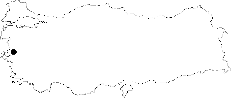
Province: |
Izmir | |||
|
District: |
Selçuk | |||
|
Village: |
Merkez | |||
|
|
||||
 |
||||
| Location: It takes 15 minutes to walk from the 2.5th km of the Selcuk-Izmir highway to the cave located on the southern slope of Kurudag. |
| Structural Properties and formation : It was formed within the Mesozoic aged dolomitic marbles. It has a narrow entrance; which becomes gradually enlarged up to 20 m. It is 41 m long; and the average height of the roof is 3-5 m. The bottom descending toward north is covered with rocky blocks and travertine formations. Some archaeological excavations were carried out in this section. There are stalactites; stalagmites; columns; curtain and drapery travertines. It is a horizontal and dry cave. |
| Research History: It was surveyed by E.O. Atalay in 1983 for archaeological purposes; and a general layout of the cave was drawn. It was explored by MTA. |
| Findings: It was inhabited by people as a shelter in ancient times; therefore some archaeological excavations were carried out. A large colony of bats was seen through the final zone of the cave. |