|
|
||||
|
|
||||
|
Kusini Kuyusu |
||||
|
For cave maps and drawings please click on the picture... |
For photographs please click on the photo... |
|||
|
 |
|||
|
Type: |
Vertical Cave | |||
|
Altitude: |
m | |||
|
Depth: |
-21.5 m | |||
|
Length: |
m | |||
|
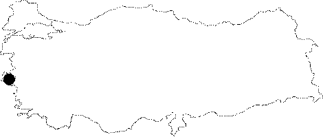
Region: |
Aegean | |||
|
Province: |
Izmir | |||
|
District: |
Selçuk | |||
|
Village: |
Merkez | |||
|
|
||||
 |
||||
| It is located on the western slope of the Cevahir Hill to the north of Selcuk. It divides into three branches; and ends up after a short while. It is adorned with travertine decorations. It was explored by BUMAK in 1986; and mapped to the BCRA 2b standards. |
| Location: |
| Structural Properties and formation : |
| Research History: |
| Findings: |