|
|
||||
|
|
||||
|
Magara Köyü |
||||
|
For cave maps and drawings please click on the picture... |
For photographs please click on the photo... |
|||
|
 |
|||
|
Type: |
Horizontal Cave | |||
|
Altitude: |
m | |||
|
Depth: |
m | |||
|
Length: |
368 m | |||
|
Region: |
Marmara | |||
|
Province: |
Sakarya | |||
|
District: |
Sögütlü | |||
|
Village: |
Magara | |||
|
|
||||
 |
||||
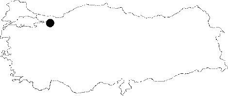
| The district of Sögütlü is reached at 18th km of the Adapazari-Karasu road; followed by a road leading to the cave. The Sakarya River passes very near to the cave. It was explored by BUMAK in 1992; and mapped to the 3c standards. |
| Location: |
| Structural Properties and formation : |
| Research History: |
| Findings: |