|
|
||||
|
|
||||
|
Manasir |
||||
|
For cave maps and drawings please click on the picture... |
For photographs please click on the photo... |
|||
|
 |
|||
|
Type: |
Vertical Cave | |||
|
Altitude: |
1695 m | |||
|
Depth: |
-368 m | |||
|
Length: |
m | |||
|
Region: |
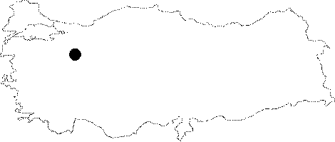
Central Anatolia | |||
|
Province: |
Eskisehir | |||
|
District: |
Mihaliçcik | |||
|
Village: |
Sorgun | |||
|
|
||||
 |
||||
| Location: It lies on the Manasir Plateau; 17 km northwest of the Mihaliccik District as the crow flies. Located on the Mihaliccik-Nallihan motorway; it takes 1.5-2 hours to walk to the cave from the Sorgun Village or the Dinek Town. |
| Structural Properties and formation : Located at the bottom of a depression doline; MTA traversed its depth as -368 m depending on the thickness of the limestones. Elbowing at -130 m; it ends up with a 240 m vertical descent. |
| Research History: It was explored by MTA in 2000; but not mapped. Later on continued to be explored by HUMAK; it ended up at -368 m. |
| Findings: |