|
|
||||
|
|
||||
|
Oylat |
||||
|
For cave maps and drawings please click on the picture... |
For photographs please click on the photo... |
|||
|
 |
|||
|
Type: |
Horizontal Cave | |||
|
Altitude: |
525 m | |||
|
Depth: |
+126 m | |||
|
Length: |
665 m | |||
|
Region: |
Marmara | |||
|
Province: |
Bursa | |||
|
District: |
Inegöl | |||
|
Village: |
Hilmiye | |||
|
|
||||
 |
||||
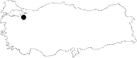
| Location: It lies to the south of the Hilmiye Village; about 17 km far from the road deviating to the Oylat Hot Springs on the Bursa-Ankara highway. It is at the bottom of the first cliffs while entering the canyon. A dirt road leads to the bank of the creek flowing in front of the cave. Local authorities started the procedures to make it a show cave without taking the natural structure and fauna of the cave into consideration. |
| Structural Properties and formation : It consists of two main sections. The first one made of narrow galleries extends from the entrance until the end of the depression. It houses giant whirlpools and dripstone pools. The second section is a large depression hall. It consists of big blocks and huge driptone decorations (stalactites; stalagmites and columns). The temperature and humidity are 29 degrees and 47% in front of the cave; 19 degrees and 55% in the entrance; 17 degrees and 78% in the narrow gallery; and 14 degrees and 90% in the depression halls; respectively. It is a fossil cave. |
| Research History: It was explored and mapped by MTA; and published in 1997. |
| Findings: Bats; milipedes; butterflies; and worms inhabit the cave. The bats are in colonies living in the connection hall between entrance hall and large depression hall. A vast amount of guano deposits exits. |