|
|
||||
|
|
||||
|
Pinargözü |
||||
|
For cave maps and drawings please click on the picture... |
For photographs please click on the photo... |
|||
|
 |
|||
|
Type: |
Horizontal Cave | |||
|
Altitude: |
1510 m | |||
|
Depth: |
+720 m | |||
|
Length: |
12000 m | |||
|
Region: |
Mediterranean | |||
|
Province: |
Isparta | |||
|
District: |
Yenisarbademli | |||
|
Village: |
||||
|
|
||||
 |
||||
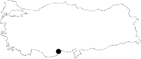
| Location: It is 1550 m high from the sea level on the northern elongation of the Dedegöl-Dippoyraz Mountain; which has an elevation of 3000 m; 11 km west of the Yenisarbademli District of Isparta. It can be reached either from Yenisarbademli on the western shore of the Beysehir Lake or Egirdir-Yenice or Sarkikaraagac-Yenisarbademli. |
| Structural Properties and formation : It has characteristics of being the longest cave with the highest positive altitude of 720 m; and the most cold water of 4-5 degrees. It is very difficult to explore due to a 50 m siphon in the immediate entrance and other long siphons; and falls and travertines which require climbing. Furthermore; the fact that the inner water is very cold and presence of a strong wind makes it much more difficult for survey [Degirmenci-Günay 1989:53-54]. |
| Research History: It was first found by T. Aygen in 1964. The main gallery was first reached by J.L. Pintaoux and Doniat of the Paris Speleology Club. Later on; C. Chabert; M. Clarke and M. Bakalowicz of the same club conducted surveys on this system from 1968 to 1975. The explored section was mapped by M. Bakalowicz in 1968. British researchers encountered an extreme flow rate of the fall and found the first siphon at +80 m when they reached to the gallery at 900 m. In 1969; the British team reached to 27 m; +138 m and 1600 m. Previously reached up to 6 km; in 1992 it was reached to a total length of 12 km. In 1987; it was sketched by C. Grubert without any exploration. |
| Findings: |