|
|
||||
|
|
||||
|
Sarikaya |
||||
|
For cave maps and drawings please click on the picture... |
For photographs please click on the photo... |
|||
|
 |
|||
|
Type: |
Horizontal Cave | |||
|
Altitude: |
1050 m | |||
|
Depth: |
- 35;+16 m | |||
|
Length: |
591 m | |||
|
Region: |
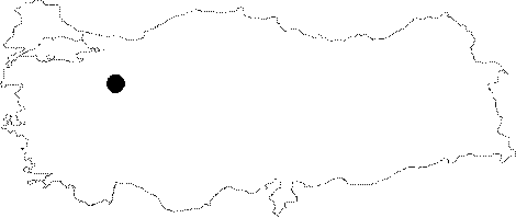
Central Anatolia | |||
|
Province: |
Eskisehir | |||
|
District: |
Mihaliçcik | |||
|
Village: |
Yalimkaya | |||
|
|
||||
 |
||||
| Location: It lies on the left slope of the Catalkaya Creek; a branch of the Domya Creek; which is one of the branches of the Sakarya River; 1 km east of the Yalimkaya (Domya) Village and 1.5 km east of the Karakaya Cave. It can be reached either from Büydüz-Sasa-Yalimkaya or Mihaliccik-Gürleyik-Yalimkaya roads; both deviating from the Eskisehir-Mihaliccik motorway. A one-hour walk from the Yalimkaya Village leads into the cave. |
| Structural Properties and formation : It was formed within the Sömdiken marbles over a northeastern-southwestern directed fault. It consists of three galleries interconnected with narrow passages and three levels. It has two entrances with diverse heights. It is rich in decorations; and stalactites and stalagmites are mainly black and brown. With a roof height ranging from 1 to 15 m; it has numerous descents and ascents. |
| Research History: It was explored by MTA; and its map and other characteristics have been published in 2001. |
| Findings: It has been inhabited by abundant number of bats; the guano deposits of big bat colonies reaching into a significant thickness particularly at the bottom of the upper fossil level. Entrances being close to the channel; and located in a protected area; it has findings and figures indicating that it had been settled by human beings in prehistoric and historic ages. Among remains intensely found in the upper level and in front of the entrance are flint flakes; brick/potsherds and human bones. Furthermore; there is a thick protected cultural deposit in the halls at the entrance of this fossil level. |