|
|
||||
|
|
||||
|
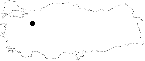
Sarikiz Subatani |
||||
|
For cave maps and drawings please click on the picture... |
For photographs please click on the photo... |
|||
|
 |
|||
|
Type: |
Vertical Cave | |||
|
Altitude: |
1195 m | |||
|
Depth: |
-10 m | |||
|
Length: |
15 m | |||
|
Region: |
Central Anatolia | |||
|
Province: |
Eskisehir | |||
|
District: |
Saricakaya | |||
|
Village: |
||||
|
|
||||
 |
||||
| Location: It lies on a high plateau; abandoned after deeply breached by the Sakarya River. Located 2-5 km east of the Afarin Sinkhole; it is on the Saricakaya-Yenipazar road. It can be reached after a 15-20 minute walk from the Sarikaya Upland. |
| Structural Properties and formation : It was vertically formed within the Jura-Lower Cretaceous limestones; and it consist of a circle-like single hall. It is a sinkhole type of fossil cave; which halted its development. It has no contact with underground waters. |
| Research History: It was explored by MTA; and its map and other characteristics have been published in 2001. |
| Findings: |