|
|
||||
|
|
||||
|
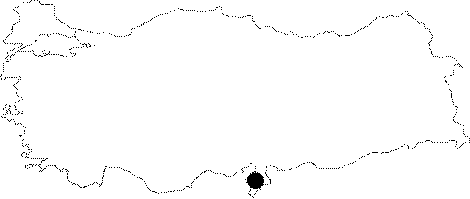
Sariseki |
||||
|
For cave maps and drawings please click on the picture... |
For photographs please click on the photo... |
|||
|
 |
|||
|
Type: |
Cave | |||
|
Altitude: |
1300 m | |||
|
Depth: |
m | |||
|
Length: |
m | |||
|
Region: |
Mediterranean | |||
|
Province: |
Hatay | |||
|
District: |
Iskenderun | |||
|
Village: |
Azcanlik | |||
|
|
||||
 |
||||
| Location: A stabilized road leads to the Dutlu Mevkii of the Azcanlik (Azginlik) Village; and then to Kursunlu Mevkii from the Sariseki road. From that point; Incelcelep Mevkii is reached by walking a pathway within a forested area; followed by a 30 m climb to reach to the cave. |
| Structural Properties and formation : The entrance is very narrow. No scientific exploration has been carried out in the cave. It is very rich in stalactites and stalagmites. |
| Research History: No scientific exploration has been carried out; only the information provided by the Ministry of Culture is available. |
| Findings: It is locally known as "Kuslar Magarasi" as it is inhabited by abundant number of bats. |