|
|
||||
|
|
||||
|
Sogucak |
||||
|
For cave maps and drawings please click on the picture... |
For photographs please click on the photo... |
|||
|
 |
|||
|
Type: |
Horizontal Cave | |||
|
Altitude: |
295 m | |||
|
Depth: |
m | |||
|
Length: |
40 m | |||
|
Region: |
Marmara | |||
|
Province: |
Kirklareli | |||
|
District: |
Vize | |||
|
Village: |
Sogucak | |||
|
|
||||
 |
||||
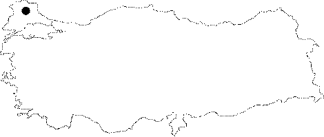
| Location: Located in the Sogucak Village; 15 northwest of Vize; it lies on the upper slope of the Sogucak Creek breaching the region by deeply buried valleys. A 2 km road deviating almost in the mid of the 24 km long road between Vize and Pinarhisar reaches to the village and cave. |
| Structural Properties and formation : It was formed within the Eocene aged Kirklareli limestones elongating on a broad area in the region. To the south of the limestones with a clayey structure in the vicinity of the cave are clastics from the Miocene and Pliocene epochs. 25-30 m high from the table of the Davalipinar Creek; it is a fossil cave; which halted its development. It consists of a single room; developed horizontally; there is a thick layer of soil mixed with pebbles and sand at the bottom. |
| Research History: It was explored and mapped by MTA. |
| Findings: |