|
|
||||
|
|
||||
|
Soguksu |
||||
|
For cave maps and drawings please click on the picture... |
For photographs please click on the photo... |
|||
|
 |
|||
|
Type: |
Horizontal Cave | |||
|
Altitude: |
m | |||
|
Depth: |
-1 m | |||
|
Length: |
58 m | |||
|
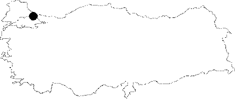
Region: |
Marmara | |||
|
Province: |
Istanbul | |||
|
District: |
Sile | |||
|
Village: |
Hacilli | |||
|
|
||||
 |
||||
| Location: It lies 1 km north of the eastern slope; nearly at the beginning where the Göksu Valley heads northward by meandering; 500 m east of the Hacilli Village. |
| Structural Properties and formation : The mouth of the cave is located eastern slope of Göksu Creek and 5 m above the base of Göksu valley. It elongates in the southwest-northeast direction along with a fault line within the dense triassic limestones. Cave is formed within such a fault system that both mouth and gallery continues. The karstic fault has enlarged like the gallery with a width of 1m and a height of 2-3 m. Gallery ends up with leakage of 0,5 m depth and a fault-like wall. Closing to the leakage the base is covered with a thin silt layer. There are also travertine pools at the base. On ceiling many intersecting faults are covered with travertine deposits in white and light beige colors, secondary cyrstallised lacing and wet travertines and stalactites of 10 cm. Cave with approximately 58 m of lenght is still young and an active cave. Hydrology: There is a continuous leakage of water flowing downward towards the end; which resurges as a karstic spring; 20 m south of the entrance; which is called "Soguksu Pinari". |
| Research History: Cave known by the villagers inhabiting in Hacili was assesed by T.A. Ertek [Ertek 1995] who made geomorphological survey in 1980's in Kocaeli Peninsula and firstly noticed process of cavity. Ertek and his team was mapped the cave. It was also explored by BUMAK in 1986. |
| Findings: There are spiders encountered in cave. |