|
|
||||
|
|
||||
|
Sugözü |
||||
|
For cave maps and drawings please click on the picture... |
For photographs please click on the photo... |
|||
|
 |
|||
|
Type: |
Horizontal Cave | |||
|
Altitude: |
175 m | |||
|
Depth: |
-1 m | |||
|
Length: |
23 m | |||
|
Region: |
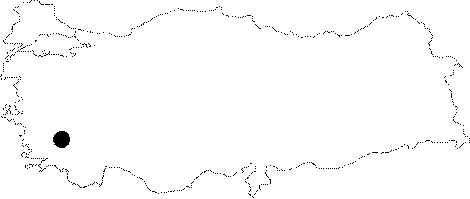
Aegean | |||
|
Province: |
Aydin | |||
|
District: |
Söke | |||
|
Village: |
Naipli | |||
|
|
||||
 |
||||
| It lies next to the Göz Creek; 500 m west of the Naipli Village. It is very narrow; and adorned with travertine decorations. It is located at the contact zone of limestones and the Permian aged schists. The karstic spring; which formed the cave is 2 m below the cave at present. It was explored and mapped by MTA. |
| Location: |
| Structural Properties and formation : |
| Research History: |
| Findings: |