|
|
||||
|
|
||||
|
Sahinköy |
||||
|
For cave maps and drawings please click on the picture... |
For photographs please click on the photo... |
|||
|
 |
|||
|
Type: |
Horizontal Cave | |||
|
Altitude: |
175 m | |||
|
Depth: |
-20 m | |||
|
Length: |
52 m | |||
|
Region: |
Marmara | |||
|
Province: |
Bursa | |||
|
District: |
Karacabey | |||
|
Village: |
Sahinköy | |||
|
|
||||
 |
||||
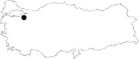
| Location: It is located on the mid-slope of the Calbayir Hill overlooking the plain; to the north of Sahinköy; 4 km northwest of Karacabey. A road leads to Sahinköy; which is followed by a 20 minute walk to reach to the cave. |
| Structural Properties and formation : It is a fossil cave on a vadose zone. The roof height varies between 1 and 8 m; and the bottom is filled with fossil soil; debris and blocks. There are stalagmites; stalactites; column; wall and curtain dripstones in the cave. These decorations are completely fossilized and partly damaged. |
| Research History: It was explored and mapped by MTA; and published in 1997. |
| Findings: A great colony of bats inhabit the hall in the final zone. |