|
|
||||
|
|
||||
|
Taburoglu |
||||
|
For cave maps and drawings please click on the picture... |
For photographs please click on the photo... |
|||
|
 |
|||
|
Type: |
Cave | |||
|
Altitude: |
990 m | |||
|
Depth: |
m | |||
|
Length: |
27 m | |||
|
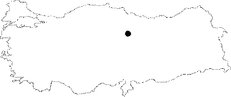
Region: |
Central Anatolia | |||
|
Province: |
Ankara | |||
|
District: |
Haymana | |||
|
Village: |
Demirözü | |||
|
|
||||
 |
||||
| Location: It is located at the Kizilhisar Mevkii of the Demirözü Village. |
| Structural Properties and formation : Standing on top of the rocky block below the Taburoglu Castle; it is like a small den. The narrow left branch from the entrance disappears after a while. The entrance is used as an animal shelter by shepherds. |
| Research History: It was explored by AMAG in 1991. |
| Findings: |