|
|
||||
|
|
||||
|
Ulubük |
||||
|
For cave maps and drawings please click on the picture... |
For photographs please click on the photo... |
|||
|
 |
|||
|
Type: |
Horizontal Cave | |||
|
Altitude: |
1240 m | |||
|
Depth: |
-10 m | |||
|
Length: |
90 m | |||
|
Region: |
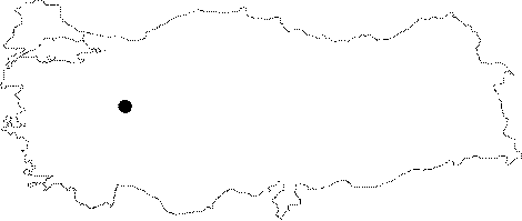
Central Anatolia | |||
|
Province: |
Eskisehir | |||
|
District: |
Alpu | |||
|
Village: |
Alapinar | |||
|
|
||||
 |
||||
| Location: It is situated on the Ulubük Yaylasi; 2 km south of the Alapinar Village; 30 km northwest of the Alpu District. The area on which the cave is located is a high ridge separating the basins of the Sakarya River and the Porsuk Brook. The cave overviewing Sakarya can be reached by the Eskisehir-Alpu-Gökcekaya Dam road. A 10 km stabilized road deviating from 20th kilometer of the road running to the dam first passes through Ulubük Yaylasi and then the Alapinar Village; leading to Sakari Kocaören. The road leads to the cave. |
| Structural Properties and formation : It drops into a -4m shaft. It was formed over a pronounced joint; and it has been enlarged by men. It is very close to the surface (2-5 m). It is a fossil cave which halted its geological development. The cracked structure of the limestones as well as the direction and distribution of the plates resulted in zigzagging and formation of hall and rooms connected by narrow galleries. It consists of three interconnecting halls. The first hall with thick fossilized soil and sand deposits leads into the second hall which is adorned with a significant amount of dripstones (stalactites; stalagmites; columns; wall and curtain dripstones; helictites and ponds). This section is 1-3 m high and it is connected with the big hall through a narrow gallery. It is very rich in decorations. |
| Research History: It was explored by MTA; and its map and other characteristics were published in 2001. |
| Findings: Intense colonies of bats inhabit the different sections of the cave; especially the second and third halls. Near the final zone; some human bones and potsherds were uncovered. |