|
|
||||
|
|
||||
|
Uluyayla Düdeni |
||||
|
For cave maps and drawings please click on the picture... |
For photographs please click on the photo... |
|||
|
 |
|||
|
Type: |
Vertical Cave | |||
|
Altitude: |
920 m | |||
|
Depth: |
-91 m | |||
|
Length: |
1255 m | |||
|
Region: |
Black Sea | |||
|
Province: |
Karabük | |||
|
District: |
Safranbolu | |||
|
Village: |
Ovacuma | |||
|
|
||||
 |
||||
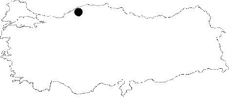
| Location: It is located at the Uluyayla Mevkii; Ovacuma Subdistrict of the Safranbolu of Karabük. It can be reached by following the creek outflowing from the Uluyayla Cave after a one-hour walk. |
| Structural Properties and formation : The Uluyayla Creek which runs in every season passes through the Uluyayla Cave; and after a while sinks into the Uluyayla Sinkhole; situated at the bottom of a blind valley. There are fossil galleries in the upper sections of the cave. Since it is very hard to reach to the active gallery from the base of the creek; it is easier to climb over a steep cliff on the left bank to enter to the gallery. The gallery called "Yeniden Dogus" (Rebirth) in the map drawn by BUMAK is quite interesting. The floor is completely covered with a 3-4 cm layer of clay; and then new stalagmites and crane-like decorations were formed on top of it. Both siphons on the map were stuck with very thick logs. Therefore they are too dangerous for diving. |
| Research History: It was explored and mapped to the BCRA 3c standard by BUMAK in 1988. The cave was re-mapped by MTA in 2002 and was given the name Subatik. |
| Findings: |