|
|
||||
|
|
||||
|
Üçtas / Sahmaran |
||||
|
For cave maps and drawings please click on the picture... |
For photographs please click on the photo... |
|||
|
 |
|||
|
Type: |
Horizontal Cave | |||
|
Altitude: |
610 m | |||
|
Depth: |
-18 m | |||
|
Length: |
28 m | |||
|
Region: |
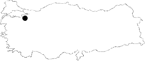
Marmara | |||
|
Province: |
Bursa | |||
|
District: |
Yenisehir | |||
|
Village: |
Yeniköy | |||
|
|
||||
 |
||||
| Location: It is located on the left bank of the Taskesen Creek to the north of the Kilickaya Hill; 1 km northeast of the Ecinli Cave. The road running from the Yeniköy (Cedit) Village to Kiblepinar leads near to the cave. |
| Structural Properties and formation : It was developed vertically on a pronounced fault line within the Jura Lower Cretaceous aged Bilecik limestones. It was developed vertically on the hum which lowers due to faults at the edge of the Fluviokarstic paleo valley through which the Sazli Creek flows. The cave was formed along a narrow joint depending on the fault it was formed within. It has cave ponds and cauliflower corals on the walls. It is a sinkhole type of fossil cave in the vadose zone which halted its development. Therefore it has no connection with underground or surface waters. |
| Research History: It was explored and mapped by MTA; and published in 1997. |
| Findings: |