|
|
||||
|
|
||||
|
Veysel Dayi |
||||
|
For cave maps and drawings please click on the picture... |
For photographs please click on the photo... |
|||
|
 |
|||
|
Type: |
Horizontal Cave | |||
|
Altitude: |
m | |||
|
Depth: |
24 m | |||
|
Length: |
148 m | |||
|
Region: |
Marmara | |||
|
Province: |
Kocaeli | |||
|
District: |
Bahçecik | |||
|
Village: |
Servetiye | |||
|
|
||||
 |
||||
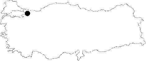
| It is situated to the south of Kocaeli. In order to access the area one has to go first from Kocaeli to Yuvacik the to Servetiye Village. The water depot to the west of Aytepe is accessed from the village. The entrance of the cave is on the slope next to the water depot. It is an active water outlet; located in the facility at the start of the pathway leading to the Menekse Plateau. It forms one of the creeks reaching to the Yuvacik Dam; and then it flows through a very deep calcareous valley. Accessible from the outlet side; it reaches to a waterfall which spills into a big lake after 100 m. Attempts to climb to the waterfall spilling from a height of app. 20 m failed during the first two excursions. When it was succeeded during a third trial by BUMAK in March 2003; it was seen that the water inflowing to the waterfall is sprayed from a siphon. Local people informed no presence of a sinkhole in the vicinity. There exists only one sinkhole to the northeast of the cave near the peak of Aytepe; of which the mouth was closed by the local people. Even when the the sinkhole basin is dry; there is a huge amount of outflow from the cave. The research performed in 1999 showed that the water accumulated in the pond went into the water depot. The ceiling height is variable at some locations it goes down to 1.5 m. The limestone deposits inside the cave constituted stalactites stalagmites and curtain formations. |
| Location: |
| Structural Properties and formation : |
| Research History: |
| Findings: |