|
|
||||
|
|
||||
|
Yarasaini |
||||
|
For cave maps and drawings please click on the picture... |
For photographs please click on the photo... |
|||
|
 |
|||
|
Type: |
Horizontal Cave | |||
|
Altitude: |
210 m | |||
|
Depth: |
-11.5;+5.5 m | |||
|
Length: |
168 m | |||
|
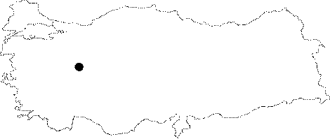
Region: |
Central Anatolia | |||
|
Province: |
Eskisehir | |||
|
District: |
Saricakaya | |||
|
Village: |
Alpagut | |||
|
|
||||
 |
||||
| Location: It can be reached by the Eskisehir-Saricakaya-Mihalgazi-Alpagut and Inhisar-Sögüt motorways. The road running from Mihalgazi to Alpagut and Inhisar passes by the cave. The distance from Alpagut to the cave is 2 km. |
| Structural Properties and formation : It was developed in the Upper Jura Lower Cretaceous aged limestones. It lies in the northwest-southeast direction; and shows characteristics of a multilayer development. It is a fossil and dry cave with 3 storey; which halted its development; situated on the bank of the Sakarya river. It has two interconnected entrances. No or little dripstone decorations can be seen. |
| Research History: It was explored by MTA; and its map and other characteristics were published in 2001. |
| Findings: Small groups of bats inhabit the various sections of the cave. |