|
|
||||
|
|
||||
|
Yarimkaya |
||||
|
For cave maps and drawings please click on the picture... |
For photographs please click on the photo... |
|||
|
 |
|||
|
Type: |
Horizontal Cave | |||
|
Altitude: |
1250 m | |||
|
Depth: |
- 7 m | |||
|
Length: |
26 m | |||
|
Region: |
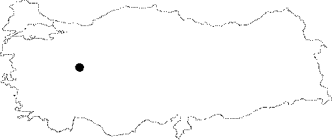
Central Anatolia | |||
|
Province: |
Eskisehir | |||
|
District: |
Han | |||
|
Village: |
Kayi | |||
|
|
||||
 |
||||
| Location: It is located on the left bank of the Degirmen Creek; near the Kayi Village; which is 10 km northwest of the Han District; 95 km southeast of Eskisehir. It can be reached by the Eskisehir-Cifteler-Han Kayi Village or Eskisehir-Seyitgazi-Bardakci-Karaagac-Kayi Village motorway. A road leads to the cave; 1.5 km south of the Kayi Village. |
| Structural Properties and formation : It is a sinkhole type of cave developed horizontally. The entrance is 20 m high from the base of the valley; like a -3m steep shaft. No decorations can be seen. It is a fossil cave in the vadose zone; which halted its development. |
| Research History: It was explored by MTA; and its map and other characteristics were published in 2001. |
| Findings: |