|
|
||||
|
|
||||
|
Yassigeçit |
||||
|
For cave maps and drawings please click on the picture... |
For photographs please click on the photo... |
|||
|
 |
|||
|
Type: |
Cave | |||
|
Altitude: |
173 m | |||
|
Depth: |
-28 m | |||
|
Length: |
230 m | |||
|
Region: |
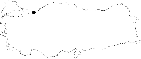
Marmara | |||
|
Province: |
Sakarya | |||
|
District: |
Karasu | |||
|
Village: |
Yassigeçit | |||
|
|
||||
 |
||||
| Location: It is located 4 km east from Kurumese cave; and approximately 30 km northeast from Adapazari. |
| Structural Properties and formation : It has similar geological characteristics with Sögütlü; and Kurumese caves. It is a semi-active; sinkhole type cave which developed in north-south direction. The cave bears a large entrance. That mouth opens into a hall 30x45 m in size. The fossil part of the cave contains dripstone formations suc as stalactites; stalagmites; columns; curtains; and dripstone ponds. On the other hand the declined gallery on the western part of the hall which has a basin covered with sand; pebbles; and debris is the half-active section. |
| Research History: It was researched by the Geological Stıdies Department Presidency of the MTA General Directorate and published in 2002. |
| Findings: The presence of a few bats was observed. |