|
|
||||
|
|
||||
|
Yaylacik |
||||
|
For cave maps and drawings please click on the picture... |
For photographs please click on the photo... |
|||
|
 |
|||
|
Type: |
Cave | |||
|
Altitude: |
645 m | |||
|
Depth: |
-22 m | |||
|
Length: |
102 m | |||
|
Region: |
Black Sea | |||
|
Province: |
Ordu | |||
|
District: |
Kumru | |||
|
Village: |
Akçakese | |||
|
|
||||
 |
||||
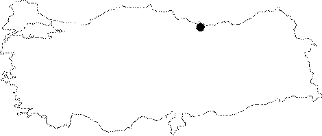
| Location: Along with Kozmandagi cave; it is located on the Kozman mountain plateau near Akçakese village; 15 km NE from Kumru district; which is 35 km south from Fatsa; 85 km southwest of Ordu. |
| Structural Properties and formation : Along with Kozmandagi cave; it is located in a region deeply fractured by the Karakucak stream; which is a branch of Kumlu (Elekçi) brook; and its branches. Yaylacil cave at 645 m altitude first developed in east-west direction; then in NW-SE; N-S; and NE-SW directions. There is a distance of 250 m between this and the Kozmandagi cave. It bears two entrances. The main entrance is a steep; -6 m long pit shape entrance which ends in a round shape hall at the SE end. On the other hand the northern entrance is a -10m deep chimney type entrance. The interior is filled with soil; sand; pebbles; debris; and blocks especially at the entrance hall locations. It does not contain any dripstone deposits; and it is 0.5 m - 4 m wide; the ceiling height is 2 - 6 m. The spot in the central area; where the subsurface stream; which was formed by the leakages from the southern section disappears; is the youngest part of the cave. Two rejuvenescence steps were developed in that section where small ponds; and a natural bridge (previous basin) are situated. It is a passage type; fossil cave. There are no dripstone formations inside. |
| Research History: It was researched by the Karst and Caves Researches Unit; Geological Studies Department of the MTA General Directorate; and published in 2004. |
| Findings: There are a few bats in the cave. |