|
|
||||
|
|
||||
|
Yaylaçayiri |
||||
|
For cave maps and drawings please click on the picture... |
For photographs please click on the photo... |
|||
|
 |
|||
|
Type: |
Horizontal Cave | |||
|
Altitude: |
415 m | |||
|
Depth: |
-18.5 m | |||
|
Length: |
64 m | |||
|
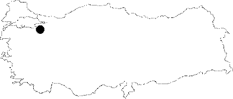
Region: |
Marmara | |||
|
Province: |
Bursa | |||
|
District: |
Nilüfer | |||
|
Village: |
Unçukuru | |||
|
|
||||
 |
||||
| Location: It is located on the right bank of the Yaylaçayiri Hollow; 2 km west of the Uncukuru Village to the south of the Uluabat Lake. A stabilized road deviating from the exit of Uncukuru Village on the Bursa-Çali-Maksenpinar former Mustafakemalpasa motorway leads to the cave. |
| Structural Properties and formation : It was formed on a pronounced fault line within the Jurassic Lower Cretaceous aged limestones. I has a meandering profile; and it consists of two stories. The first storey which developed horizontally leads into the lower level through two shafts of -4 and -9 m. The bottom is covered with blocks; debris; and fossil soil; and it is partly adorned with decorations such as stalactites; stalagmites; columns and wall dripstones. It is a fossil cave; which is dry in all seasons. |
| Research History: It was explored; mapped by MTA and published in 1997. |
| Findings: |