|
|
||||
|
|
||||
|
Yazkonagi 2 |
||||
|
For cave maps and drawings please click on the picture... |
For photographs please click on the photo... |
|||
|
 |
|||
|
Type: |
Cave | |||
|
Altitude: |
80 m | |||
|
Depth: |
+1 m | |||
|
Length: |
113 m | |||
|
Region: |
Black Sea | |||
|
Province: |
Ordu | |||
|
District: |
Ünye | |||
|
Village: |
Yazkonagi | |||
|
|
||||
 |
||||
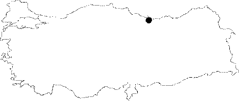
| Location: Along with Yazkonagi 1 cave it is located on the western bank of Saydere (Lahana stream); just south of Ünye (Karagöl quarter) in the province of Ordu. The distance between the two caves is approximately between 150 - 200 m. |
| Structural Properties and formation : The cave developed in east to west direction on a clear faultline. Yazkonagi 1 and 2 consist the parts of the same underground system and they were developed in the east-west direction unlike the flow direction of the present rivers which is from south to north. Yazkonagi 1 entrance altitude is 80 m. The cave is 1-4 m wide; and the ceiling height is 0.5-3 m. It consists of a main gallery in NW-SE direction (towards the large cave) ; and the side gallery which cuts the main gallery in a right angle at the entrance (NE-NE). The basin is filled with pebbles; and sand pile-ups. Contains dripstone formations such as eccentrics suspending from its ceiling. It is a spring type semi-avtive cave. There is a subsurface stream in this cave which flows both in winter and in summer. The water that disappears from time to time; between the piles of sand and pebbles; is actually coming from the side branch of Yazkonagi 1. |
| Research History: It was researched by the Karst and Cave Researches Unit of the Geological Studies Department of MTA General Directorate; and published in 2004. |
| Findings: |