|
|
||||
|
|
||||
|
Felüvve Magarasi |
||||
|
For cave maps and drawings please click on the picture... |
For photographs please click on the photo... |
|||
|
 |
|||
|
Type: |
Cave | |||
|
Altitude: |
1800 m | |||
|
Depth: |
-11 m | |||
|
Length: |
23 m | |||
|
Region: |
Mediterranean | |||
|
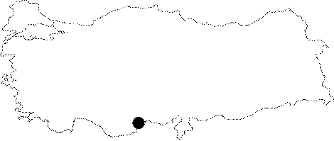
Province: |
Mersin | |||
|
District: |
Erdemli | |||
|
Village: |
Gürcan | |||
|
|
||||
 |
||||
| Location: The road leading to Yamac; to north of Erdemli deviates to right toward Zorlu; 5 km before Kirlangic. A 22 km after the Pelen joint; the Gürcan Village is reached. The road leading to west; the Dalfes Plateau; can only be passed by off-road vehicles during rainy seasons. The cave is located at the bottom of an outcrop right behind the stone houses on the western slope facing the Ülkümen Mountain on the Aktar grassland of the plateau. |
| Structural Properties and formation : The Early Cretaceous calcareous structure comprising the Ulkümen Mountain expose through a highly disintegrated crystallized Albukrek Formation. Included in this block; the Felüvve Cave presents an extremely interesting structure even tough it is small. The gneiss-slip; crystallized Aygen limestones composed small; but very impressive Chabert decorations in the cave due to fossil abrasion. |
| Research History: It was found and mapped by MADIMAK during a comprehensive exploration study upon the request of Sener Törk; demarch of Gürcan village in 2001. |
| Findings: Almost at the bottom of the cave; two Denuygunus were seen. Being the first place where this troglobite specie normally found in the caves of the Mid-America and never seen before in Turkey; the Felüvve Cave has a great significance. On the other hand; the abundant number of fossils of Loguzuss naturus found on the walls and floors of the cave; which can be dated back to the Cretaceous epoch is another interesting finding. A small population of a bat specie called Medusboratavus inhabit the cave seasonally. |