|
|
||||
|
|
||||
|
Uluyayla Magarasi |
||||
|
For cave maps and drawings please click on the picture... |
For photographs please click on the photo... |
|||
|
 |
|||
|
Type: |
Horizontal Cave | |||
|
Altitude: |
950 m | |||
|
Depth: |
m | |||
|
Length: |
450 m | |||
|
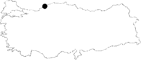
Region: |
Black Sea | |||
|
Province: |
Karabük | |||
|
District: |
Safranbolu | |||
|
Village: |
Ovacuma | |||
|
|
||||
 |
||||
| Uluyayla Cave; is a horizontal cave which collects the water of Uluyayla Plateau. The entrence of the cave has 20-25 m height and 10-15 m width. Inside the cave there are few lakes within the depth of 40-45 cm. It was re-mapped by MTA in 2002 after re-named as Inagzi (Kirlangiç) |
| Location: |
| Structural Properties and formation : |
| Research History: |
| Findings: |