|
|
||||
|
|
||||
|
Fakilli Magarasi |
||||
|
For cave maps and drawings please click on the picture... |
For photographs please click on the photo... |
|||
|
 |
|||
|
Type: |
Cave | |||
|
Altitude: |
100 m | |||
|
Depth: |
-33 m | |||
|
Length: |
1012 m | |||
|
Region: |
Black Sea | |||
|
Province: |
Düzce | |||
|
District: |
Akçakoca | |||
|
Village: |
Fakilli | |||
|
|
||||
 |
||||
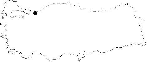
| Location: It is located in the Fakilli village; just east of Akçakoca at Black Sea coast; which is approximately 40 km north of Düzce. It is at 4km distance; northwest from Yenimahalle Cave. |
| Structural Properties and formation : It has the similar geological characteristics of Yenimahalle Cave. The main galleries of Fakilli which consists of two interconnected sections; in north to south or NNE to SSW directions were developed depending on the inclination direction of the layers; and over the cracks that cross those as well. This way the cave has a grill plan. The cave has two entrances at two different heights. The first entrance is sinkhole type and at 100 m altitude. On the other hand there is a second entrance approximately 160 m east of this entrance. This entrance too was developed on the basin of a doline and it is located +11 m above the main entrance. Fakilli bears the figures and structures that represent a multi-period development; and it is a half-active cave. The main entrance gallery is 0.5 Ğ 10 m wide; 0.5 Ğ 6 m high. The gallery usually has stairs that are 1-2 m high; and its basin contains blocks; debris; sand; and pebble storages. There are very few dripstone formations. The upper entrance gallery is accesible through the connection gallery in the middle of the main gallery towards the east direction.This also has the formations that characterizes a multi-period development. The entrance which is at +11 m above the main entrance; starts with a pit of Ğ 5m; then opens into a hall covered with blocks inside. The narrow gallery just after the hall was filled with columns therefore it may not be passed through by the human beings. This section consists of a narrow (0;5-2 m) and high ceiling (2-6 m) secondary gallery with sand; pebbles; and debris on its basin. These secondary narrow galleries that developed after the main section are deeper; therefore the underground waters pour into them. |
| Research History: It was researched by the Geological Studies Department of MTA General Directorate; and published in 2002. It takes place in the registered archaeological sites list prepared by Ministry of Culture and Tourism. |
| Findings: |