|
|
||||
|
|
||||
|
Kizlar |
||||
|
For cave maps and drawings please click on the picture... |
For photographs please click on the photo... |
|||
|
 |
|||
|
Type: |
Cave | |||
|
Altitude: |
400 m | |||
|
Depth: |
-13 m | |||
|
Length: |
123 m | |||
|
Region: |
Marmara | |||
|
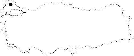
Province: |
Kirklareli | |||
|
District: |
Demirköy | |||
|
Village: |
Sarpdere | |||
|
|
||||
 |
||||
| The entrance of Kızlar Cave is in the forest, 1.5 km east of Sarpdere Village in Demirköy. Kızlar is a small cave (with a total length of 123 m) formed by the collapse of the ceiling of an underground opening. Some parts of the cave are connected to surface waters; therefore, in some small galleries there are flowstone formations. |
| Location: |
| Structural Properties and formation : |
| Research History: |
| Findings: |