|
|
||||
|
|
||||
|
Karahamzali |
||||
|
For cave maps and drawings please click on the picture... |
For photographs please click on the photo... |
|||
|
 |
|||
|
Type: |
Cave | |||
|
Altitude: |
m | |||
|
Depth: |
-54 m | |||
|
Length: |
105 m | |||
|
Region: |
Central Anatolia | |||
|
Province: |
Ankara | |||
|
District: |
Polatli | |||
|
Village: |
Karahamzali | |||
|
|
||||
 |
||||
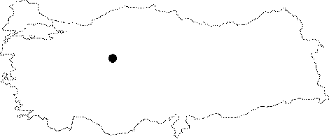
| It is situated in the Polatli District of Ankara. The cave entrance can be accessed by a brief walk from Karahamzali Village. The cave was composed inside a crack. The MAD survey took place in 1999 and cave was mapped. The cave basin is covered by the heaps of guano [MAD 14: 13]. |
| Location: |
| Structural Properties and formation : |
| Research History: |
| Findings: |