|
|
||||
|
|
||||
|
Gümüskaya |
||||
|
For cave maps and drawings please click on the picture... |
For photographs please click on the photo... |
|||
|
 |
|||
|
Type: |
Cave | |||
|
Altitude: |
m | |||
|
Depth: |
20.5 m | |||
|
Length: |
146 m | |||
|
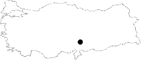
Region: |
Southeastern Anatolia | |||
|
Province: |
Kahramanmaras | |||
|
District: |
Göksun | |||
|
Village: |
Karadut | |||
|
|
||||
 |
||||
| It is accessed by a steep 20 minutes climb on Kapikaya Hill which is at the end of Ericek Village of Göksun District. The cave was formed inside the highly permeable Çayderesi Formation which consists of marble, recrystalized limestone, and dolomythic limestone and was defined as Permian Age. Gümüskaya Cave extends northwest-southeast alongside the contacting line of recrystalized limestones and schists. It was formed at a resurgence as observed on the cross-section. The section that follows the steep part and especially the dripstone formation composed the visually most beautiful part of the cave. The small hall behind the dripstone formation contains intense cave sediment. It was explored and mapped by MTA in 2008. A few bats were observed. |
| Location: |
| Structural Properties and formation : |
| Research History: |
| Findings: |