|
|
||||
|
|
||||
|
Gürlik |
||||
|
For cave maps and drawings please click on the picture... |
For photographs please click on the photo... |
|||
|
 |
|||
|
Type: |
Cave | |||
|
Altitude: |
m | |||
|
Depth: |
-9 m | |||
|
Length: |
26 m | |||
|
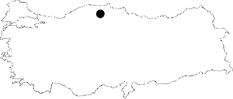
Region: |
Black Sea | |||
|
Province: |
Kastamonu | |||
|
District: |
Pinarbasi | |||
|
Village: |
Güvercinlik | |||
|
|
||||
 |
||||
| A gate and a fountain were installed by the village inhabitants for the water spring in front of the cave and the fossil cave extends in the back. It was mapped by ASPEG in December 2008. |
| Location: |
| Structural Properties and formation : |
| Research History: |
| Findings: |