|
|
||||
|
|
||||
|
Buzluk |
||||
|
For cave maps and drawings please click on the picture... |
For photographs please click on the photo... |
|||
|
 |
|||
|
Type: |
Cave | |||
|
Altitude: |
m | |||
|
Depth: |
-22 m | |||
|
Length: |
483 m | |||
|
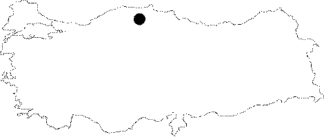
Region: |
Black Sea | |||
|
Province: |
Kastamonu | |||
|
District: |
Pinarbasi | |||
|
Village: |
Karafasil | |||
|
|
||||
 |
||||
| It is situated on the hill on the north ridge of Sarma Quarter. The cave was formed underneath the intense vegetation on the ridge of Karafasil Village. The opening was partially collapsed therefore the formations at this part are out in the open. The enormous stalagmites inside the halls were destroyed. It is a fossil cave. In April formations of ice stalagmites and stalactites were observed. These ice formations melt in summer and reform during winter. It was visited by ASPEG in August 2008 and April 2009. |
| Location: |
| Structural Properties and formation : |
| Research History: |
| Findings: |