|
|
||||
|
|
||||
|
Kurbanaga Magarasi |
||||
|
For cave maps and drawings please click on the picture... |
For photographs please click on the photo... |
|||
|
 |
|||
|
Type: |
Cave | |||
|
Altitude: |
m | |||
|
Depth: |
m | |||
|
Length: |
m | |||
|
Region: |
Eastern Anatolia | |||
|
Province: |
Kars | |||
|
District: |
Kagizman | |||
|
Village: |
Camuslu | |||
|
|
||||
 |
||||
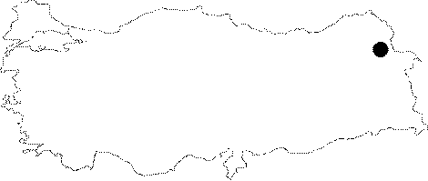
| Location: This site is south of the city of Kars; southwest of the village of Çamuslu; a district of the town of Kötek; which is northwest of the town of Kagizman. Although we are not informed about the exact location of this cave; we know that it is on the eastern flanks of Mount Aladag; very close to Tombultepe. |
| Structural Properties and formation : Situated about 6 km south of the monument where the Yazilikaya rock reliefs are present; it faces south. It is 11.50 m deep with an inner width of 5.50 m and entrance width of 12.50 m. On the outer surface and ceiling of the cave; there are illustrations of goats; some being shaped by battering; traps with net and wooden stakes; forms of string ropes; simple goat drawings with arrows; all illustrated by a diverse technique from the illustrations at Yazilikaya. It is certain that these illustrations are not from the Palaeolithic Age. |
| Research History: A sounding of 3.50x8 m was opened in 1969 under the supervision of K. Kökten. |
| Findings: Restricted information provided about the results of the excavation indicates that there is Early Bronze Age pottery at the top. Accompanied these findings are stone tools from the Upper and Middle Palaeolithic Age and hearth places from these ages. It is not clear if the bedrock was reached. Also; no report is available on which layers the Palaeolithic findings belong to. |